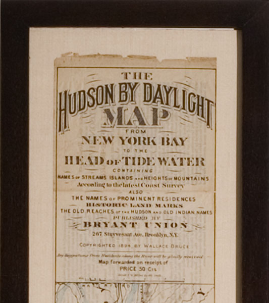

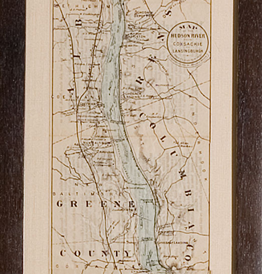
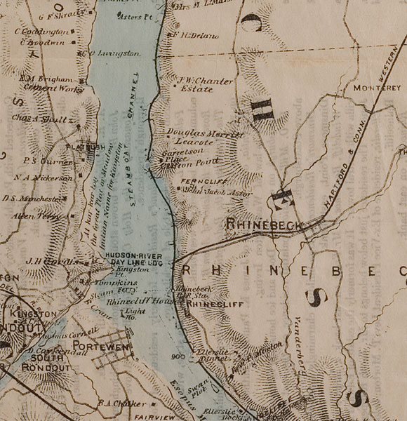
Tour map depicting the course of the Hudson River from West Point to Waterford, 1900
9 x 76” framed
Entitled: “The Hudson by Daylight Map…Published by Byrant Union…Copyrighted 1894, by Wallace Bruce”
This is a long foldout map used as a day guide to boat tours of the Hudson, popular throughout the late 19th-early 20th century. It is mounted on silk matting with a custom walnut frame. The original map depicted the course of the Hudson from Manhattan to Waterford, the present map shortened from the original (which depicted the course of the Hudson from Manhattan).
.(JavaScript must be enabled to view this email address)