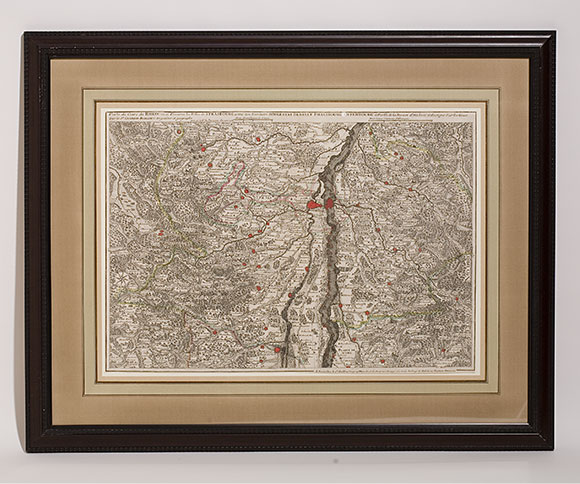
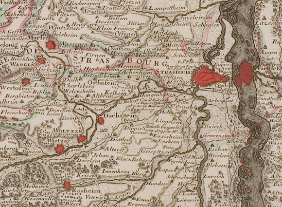
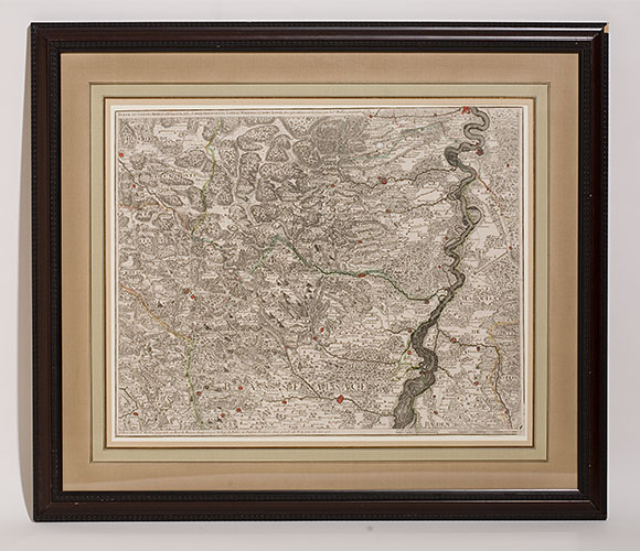
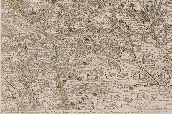
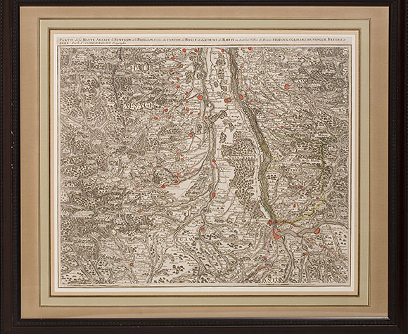

Set of three maps of Alsace, 1708
Gaspard Baillieu
French 1684-1709
French 1684-1709
Bas Alsace: 21 x 17", Mid: 21 x 15", Haute: 21 x 18"
Lovely set of maps depicting Upper, Middle and Lower Alsace by the highly respected 18th century French cartographer. Cities are hand-colored in a vibrant red, details are sharp throughout.
.(JavaScript must be enabled to view this email address)